Home
Latest Soundings Blog
Learn about STEM Policy Fellow Riley Ragain and her work to analyze SAV policy in North Carolina.
Read Here!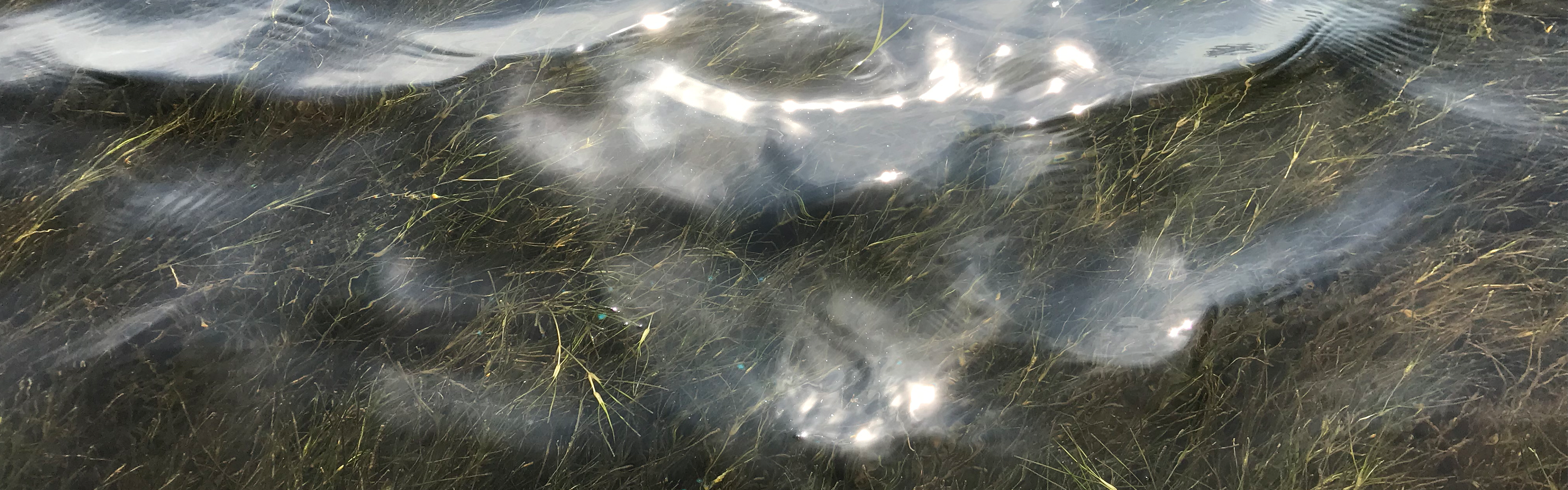
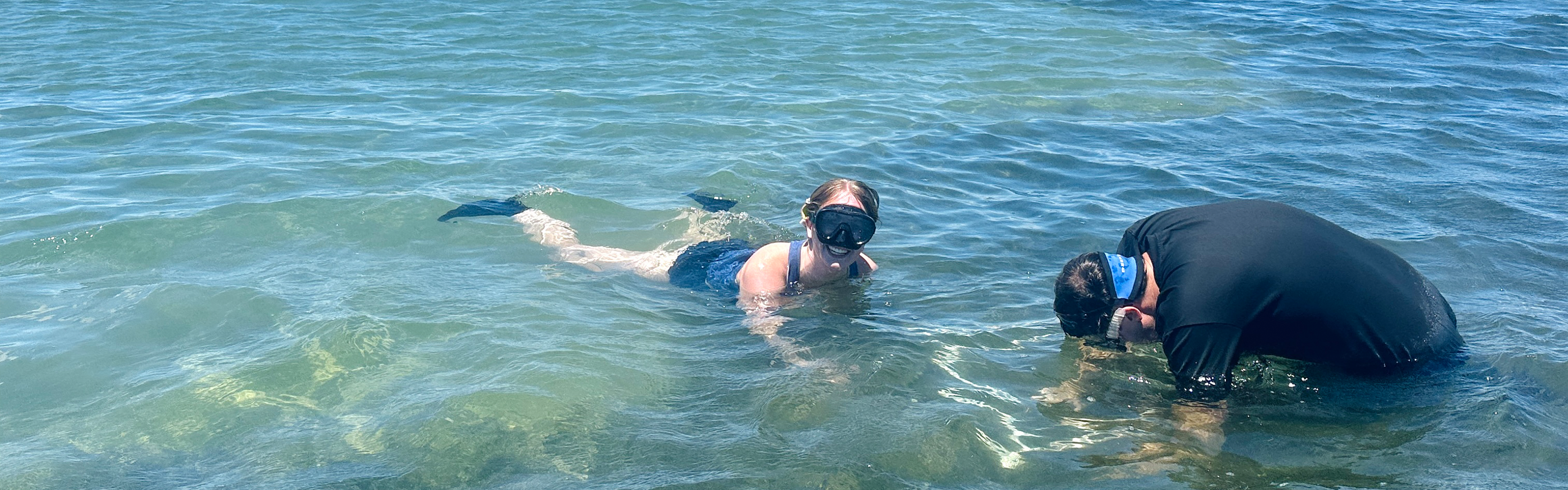
Updated analysis shows seagrass still declining
The amount of seagrass in North Carolina’s estuaries has decreased more than 16% over a 14-year period.
Press Release & 2026 Metric Report
Newsletter
APNEP releases a quarterly newsletter detailing its collaborations with diverse partners to identify, protect, and restore the significant resources of the Albemarle-Pamlico estuarine system.
Sign up here!Our Watershed
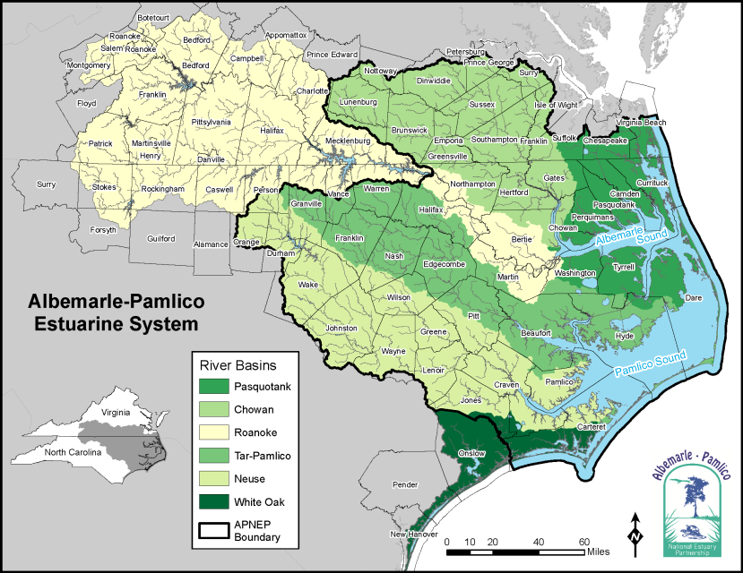
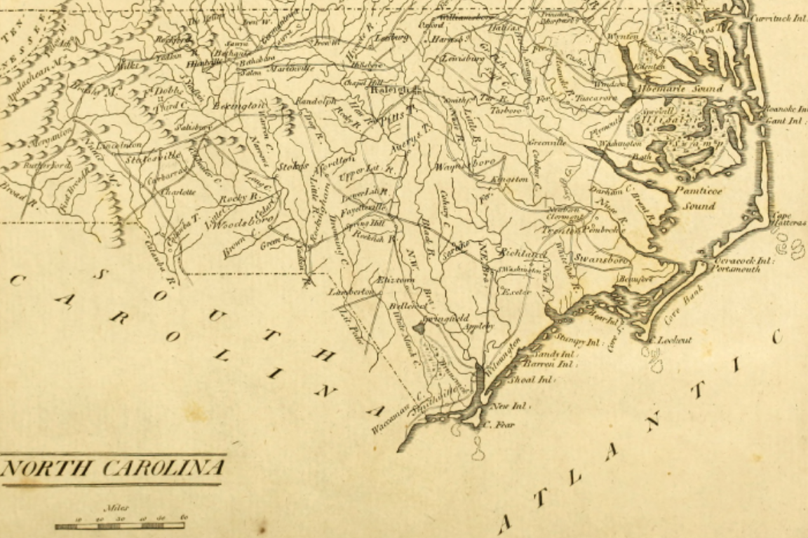
The Albemarle-Pamlico estuarine system includes over 3,000 square miles of estuarine waters and 28,000 square miles of land area across North Carolina and Virginia, making it the second-largest estuarine system in the United States. Six river basins flow into the sounds; the Pasquotank, Chowan, and Roanoke basins ultimately flow into Albemarle Sound, while the Tar-Pamlico and Neuse empty directly into Pamlico Sound. Rivers of the White Oak basin flow to the Albemarle-Pamlico estuary's southern sounds, including Core, Back, and Bogue.
Who We Are
The Albemarle-Pamlico National Estuary Partnership, or APNEP, works to understand, protect, and restore the significant resources of the Albemarle-Pamlico estuarine system. Initiatives that APNEP leads or supports include research studies, measures to protect or restore ecosystems, environmental monitoring programs, and education and outreach efforts. This comprehensive approach is designed to preserve the integrity of the entire estuarine ecosystem, with a special emphasis on improving water quality in the region's rivers and sounds.
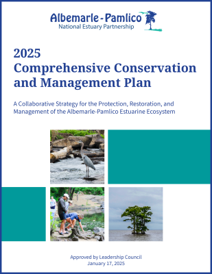
Our 2025 Comprehensive Conservation and Management Plan provides a roadmap to protecting and restoring the Albemarle-Pamlico region.


Click the icons below to view APNEP's various social media platforms, which highlight the crucial work carried out by APNEP and partners in the Albemarle-Pamlico estuarine system.
If you have any questions that the website cannot answer, then visit Contact Us to reach out to staff.