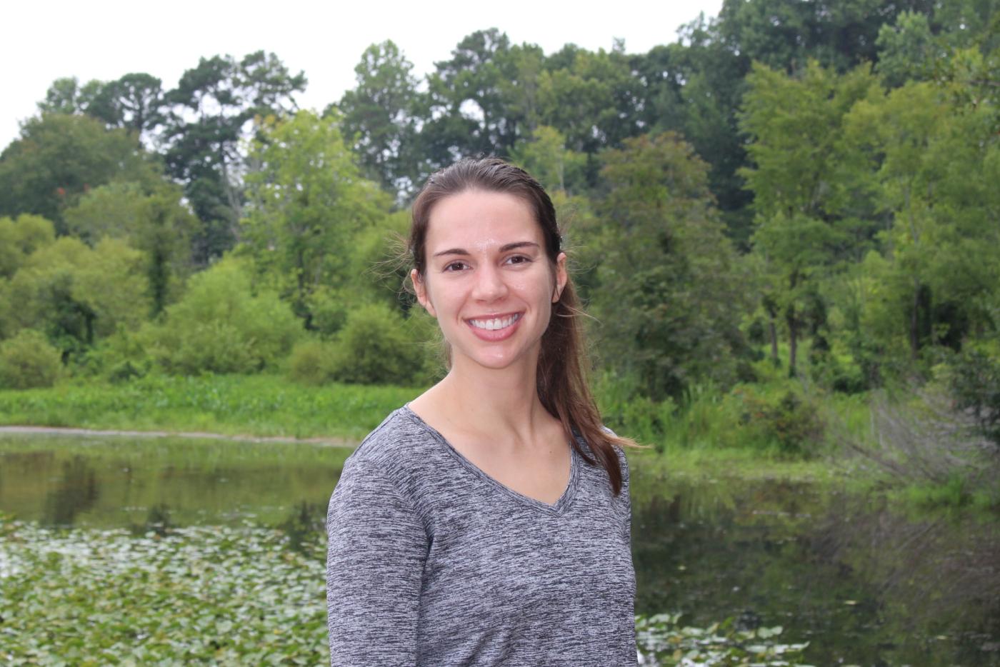
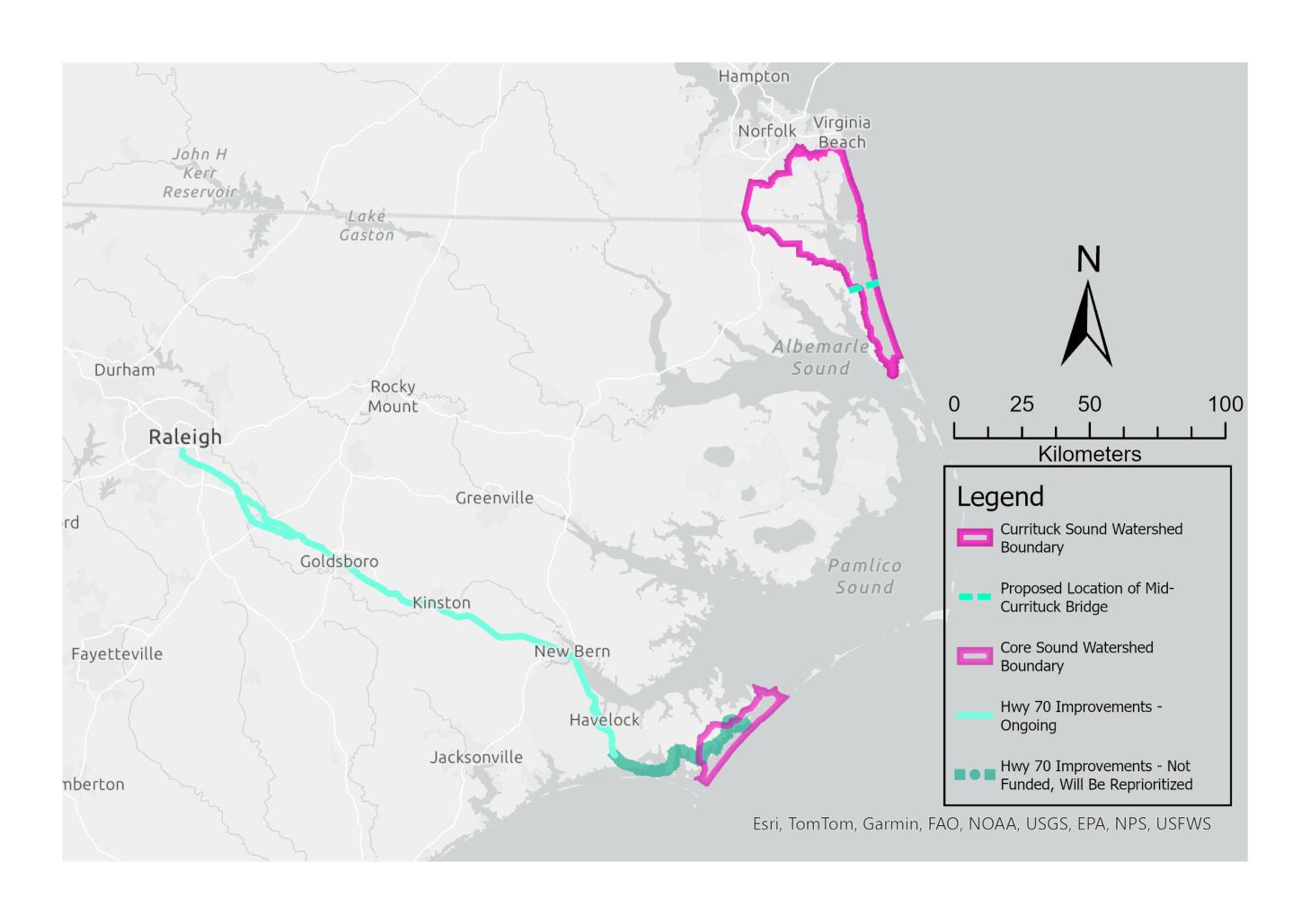
APNEP is expanding its essential monitoring from the aquatic to the terrestrial realm. As a vegetation ecologist with a background in environmental engineering, Mallory Alman is just the person for the job. This summer, Alman was tasked with developing a protocol for terrestrial vegetation monitoring within the Core and Currituck Sound watersheds.
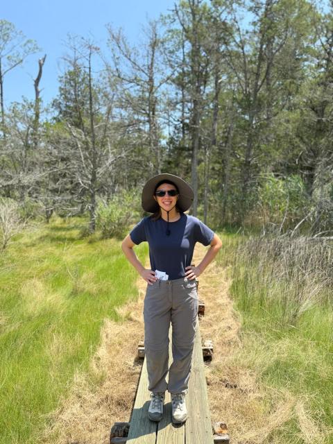
“The goal is to monitor vegetation community condition, which can serve as an indicator of changes in environmental processes like flooding" said Alman. “By keeping track of plant species and abundance, we can assess what may be impacting the health of ecosystems across the watershed.”
This is particularly important for wetland ecosystems, which play a huge role in maintaining coastal fisheries and protecting farmland, homes, and other infrastructure from flooding. If these ecosystems disappear due to sea level rise, development, pollution, or other factors, we could see huge economic and resilience impacts.
Alman earned her bachelor’s degree in biological engineering from NC State and is currently a Ph.D. student at UNC-Chapel Hill conducting research in vegetation ecology. Her prior experience with vegetation monitoring through methods like the Carolina Vegetation Survey help inform her work with APNEP.
The first step she took was identifying the main wildlife refuges, parks and private lands where ecosystems like brackish marshes and maritime forests remain fairly undisturbed. She then conducted outreach to organizations in those areas with existing data. Groups like the National Park Service, US Environmental Protection Agency, and both the Virginia and North Carolina Natural Heritage Programs have a vested interest in long-term monitoring.
“Who are the main stakeholders, or the people managing that land,” asked Alman, “who might have a say in the management actions taken across the APNEP basin? What data do we need to inform those management actions?”
After speaking to different stakeholders, she gathered and mapped past monitoring data in ArcGIS to visualize previous survey locations and track changes in vegetation. The existing data she collected from stakeholders don’t comprehensively cover the watershed or use standard methods, which is where Alman comes in.
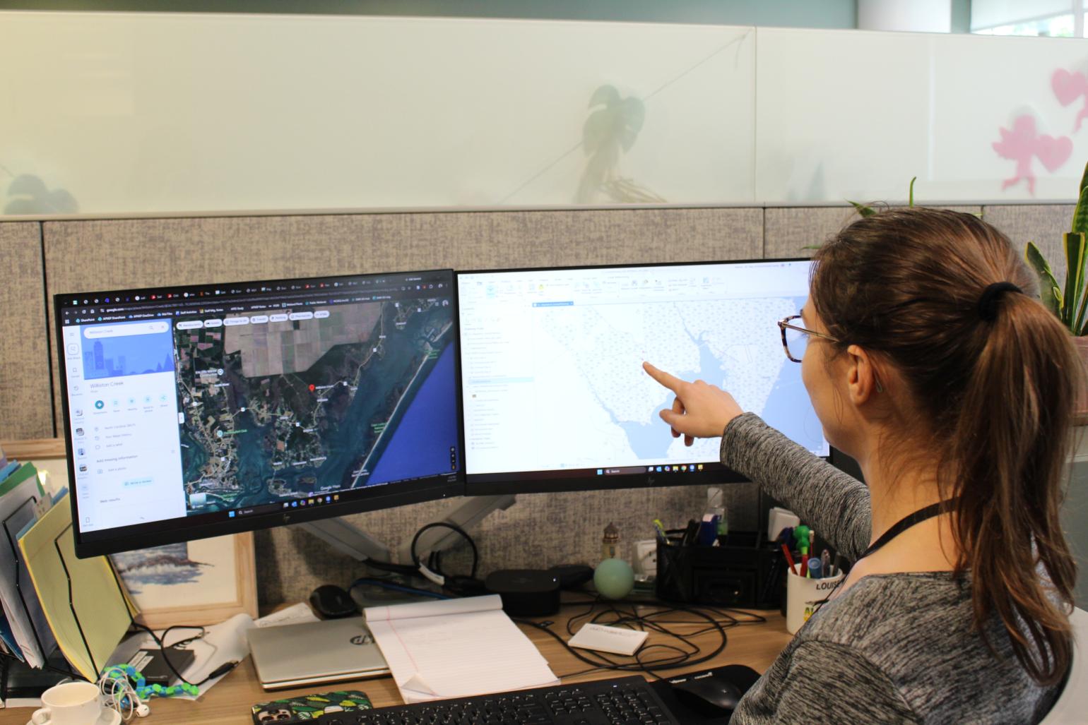
“Many people think we already know everything about vegetation and our natural ecosystems, but there are so many fundamental questions we've yet to answer.” Alman added. “We’re putting plots, or small areas where plants are identified and measured, in places without historical data to fill in the gaps. This will help us determine precisely what vegetation is even out there for us to monitor.”
Alman has also helped develop a common protocol, or monitoring method, to keep the data gathered from vegetation plots consistent across the watershed over space and time. This enables combination of all plot data to analyze trends across the watershed and will set the precedent for long-term terrestrial monitoring.
The vegetation communities covered in Alman’s monitoring plan range from salt and freshwater marshes to forested wetlands, maritime forests, and unforested uplands. Approximately one-third of the plots she selected for monitoring were previously sampled by the Carolina Vegetation Survey or Virginia Natural Heritage Program, some as early as the 1980s or 1990s. These plots present a unique opportunity to infer the main processes influencing ecosystems over long-term periods.
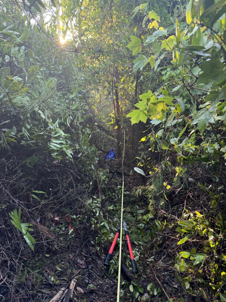
Alman’s work is a piece in the larger monitoring puzzle APNEP is putting together. In the future, APNEP plans to monitor certain animal populations and environmental factors such as land use change; information that will be integrated with Alman’s vegetation data to produce a holistic understanding of ecosystem health. The next step for her vegetation monitoring plan will be to actually go to the plot locations and put her work, well...to work!